EN

DE

Altimeter

Altitude - Location - Navigation

Real-time altitude measurement

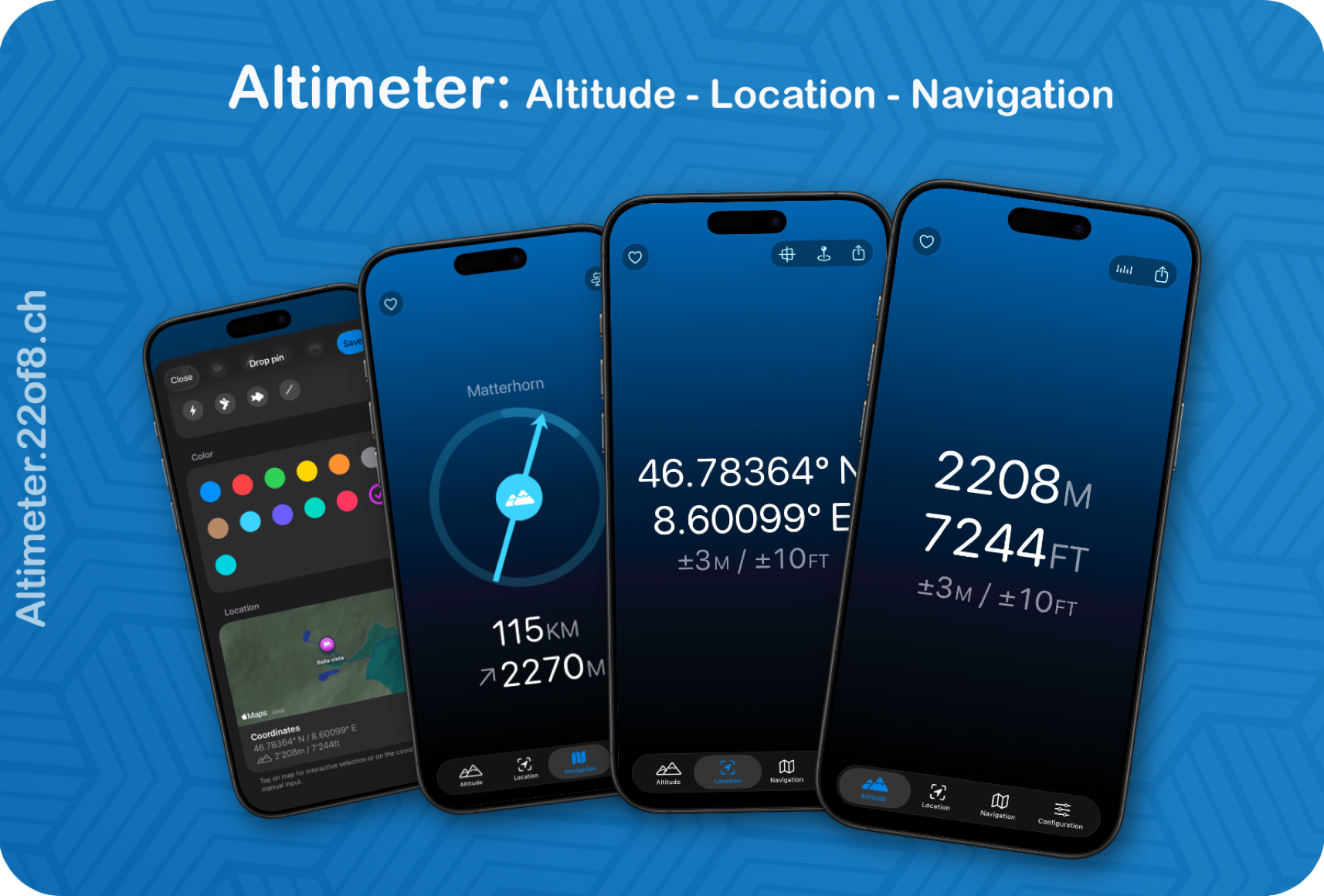
Reach the summit or check your current altitude on the go in no time. Altimeter provides accurate altitude information so you always know where you are.


Mark trails & find your way back

Save important points with names and symbols — from viewpoints to water sources — and navigate back reliably at any time.


Completely ad-free & full data protection

No ads. No data collection.


Fully equipped & free of charge

All features are available free of charge. If you like Altimeter, voluntary support helps to ensure its continued development and operation in the long term — with no obligation.
Altimeter: at a glance

  • Altitude information as desired — Displays elevation in meters, feet, meters+feet, or feet+meters, including measurement accuracy (for those who want to know exactly).
  • Versatile coordinate systems — Location display in WGS, Swiss coordinates, UTM, and MGRS (because mountains don't stick to one system).
  • Save waypoints — Save your current location as a waypoint with a name, icon, and color (personalized treasure map).
  • Set waypoints manually — Place points directly on the map or add them by entering coordinates (for planners and spontaneous explorers).
  • Navigate to waypoints — Get reliably guided back — even when your sense of direction takes a break.


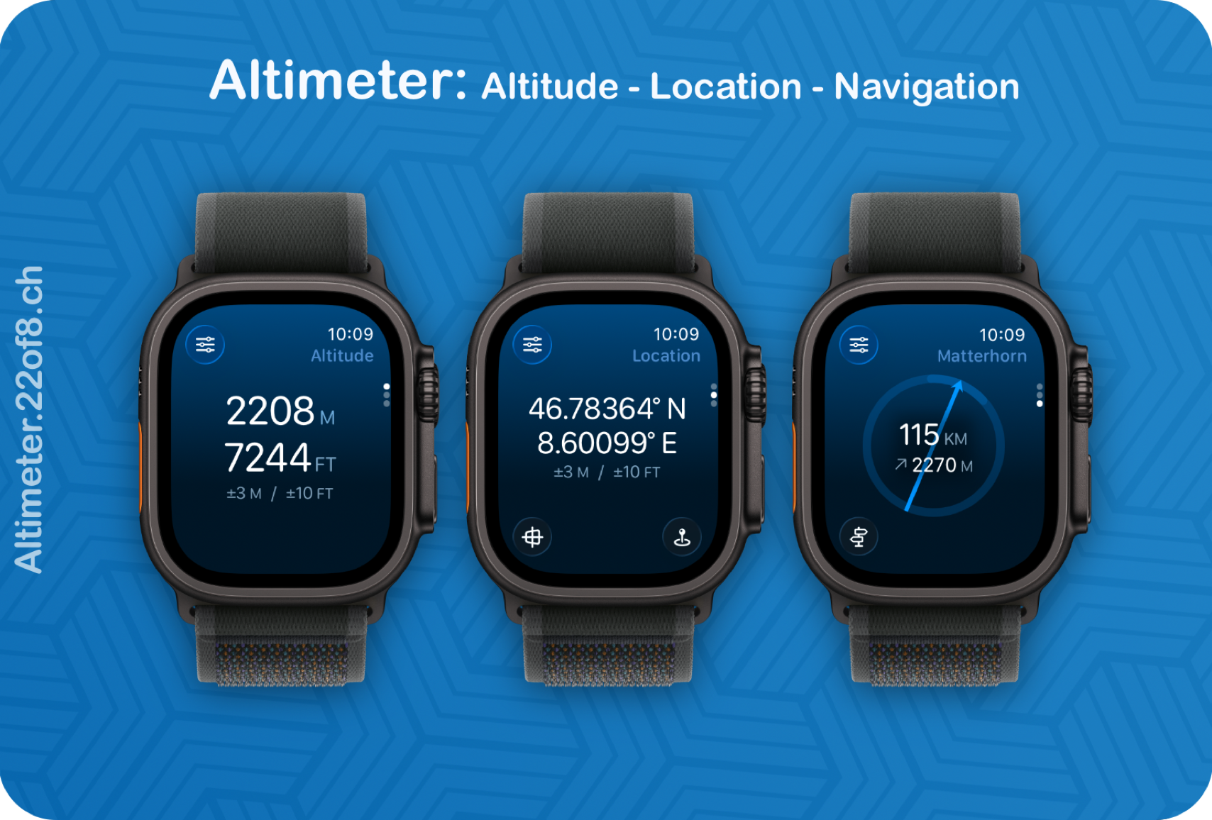
Altimeter: on your Apple Watch

  • Synchronization — sync your waypoints with your iPhone


Measure heights. Remember routes. Stay free. Altimeter.